
No matter how good electronic mapping and navigation gets, we still need to have a good set of printed maps in our kit when travelling around Australia.
This is especially true when planning a road trip around Australia when we will be travelling off the beaten track and outside of mobile phone range.
These days most of us do our navigating using electronic devices like our smartphones, tablets or dedicated units like the Hema HX-2 Navigator.

But printed maps still give you a much better ‘helicopter view’ of an area so you can plan your route for the days and weeks ahead.
They also make it easy to spot nearby landmarks and features that you might miss on the narrower field of view of an electronic map.
And of course they are an analogue backup in case your electronic navigation stops working.
On this page I’ve compiled a list of the best maps that provide full coverage of Australia as well as more detailed coverage of specific regional areas.
I’ve also included some of the most popular guides that have more in depth local information and where to find camp sites.
You most likely won’t need every map and guide on this list for your road trip around Australia but using the reference map below, you can see at a glance the areas you plan to travel to and the map that covers that area.
This page is a work in progress and I’ll be adding new maps & guides to the page over time so be sure to bookmark it and check back as your trip plans come together.
And let me know if there’s a map or guide that should be added to the page.

The list of maps 1-20 below correspond to the overlays on the reference map above.
Australia Wide Coverage Maps
1. HEMA Cape York Map (14th edition)
Featuring the Old Telegraph Track
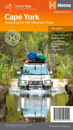
Features:
- Detailed 4WD tracks
- National parks
- Camping areas
- GPS surveyed roads & tracks
- GPS Positions
- New inset maps for the CREB Track and Rinyirru (Lakefield) National Park
- Waterproof paper
2. HEMA North Queensland Map
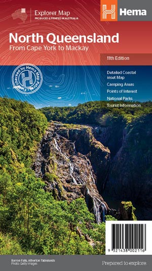
Features:
- Detailed coastal inset map
- Camping areas
- Points of Interest
- National Parks
- Tourist areas
3. HEMA Outback Queensland Map
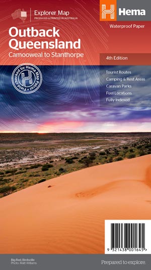
Marked on the map are:
- points of interest
- camping areas
- caravan parks
- Fuel
- Key touring routes.
Accompanying the mapping is extensive visitor information for the Channel Country, Matilda Country and the Overlanders Way, with a town and locality index in addition to necessary contact details covering the majority of information for touring the region. Also includes maps of Bladensburg, Idalia, Currawinya, Diamantina and Carnarvon Gorge national parks.
4. HEMA Central Queensland Map
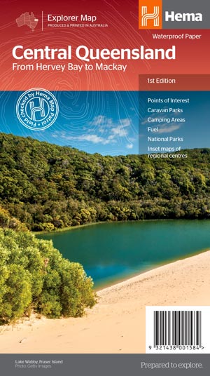
Key features:
- Inset town and city maps
- National parks
- Tourist information
- Camping and rest areas
- Index and distance charts
5. HEMA South East Queensland Map
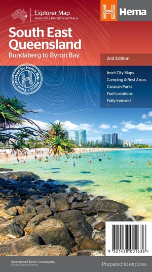
Key features:
- Inset Maps (Brisbane City and Gold Coast)
- Camping & rest areas
- Caravan Parks
- Fuel Locations
- National parks
- Rail & ferry network maps
- Brisbane region suburb and location index
6. HEMA North East New South Wales Map
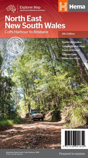
Key features:
- Top scenic drives
- Camping and rest areas
- Fully indexed
- Events and information
- Points of interest
- Waterproof paper
7. HEMA New South Wales Map
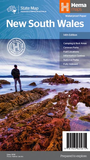
Key features:
- Points of interest
- 24-hour fuel
- National parks
- Camping areas
- Rest areas
- Fully indexed
8. HEMA Outback New South Wales Map
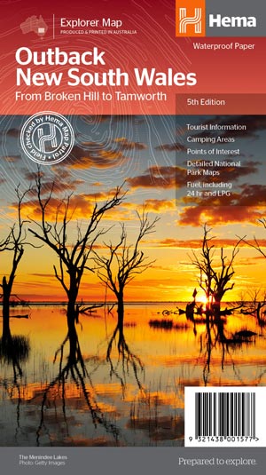
Key features:
- Detailed National Park Maps
- Tourist information
- Camping areas
- Points of interest
9. HEMA Victoria Map
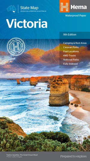
Key features:
- Camping & Rest Areas
- Caravan Parks
- Fuel Locations
- 4WD tracks
- National Parks
- Fully indexed
10. HEMA Tasmania Map
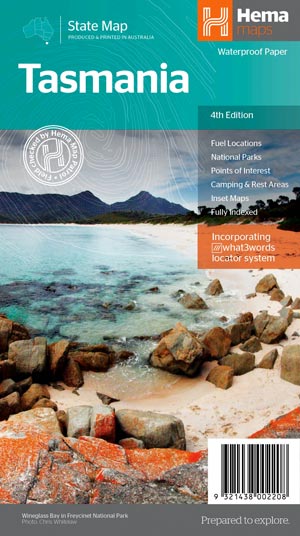
Key features:
- National parks, fuel locations, campsites and caravan parks
- Detailed maps of the Zeehan and Region (including Lake St Clair and Franklin-Gordon Rivers National Park), Freycinet National Park, Southwest National Park and Hobart & Region
- Visitor Information Centres
- National Parks and Reserves with key features and facilities
11. HEMA South Australia Map
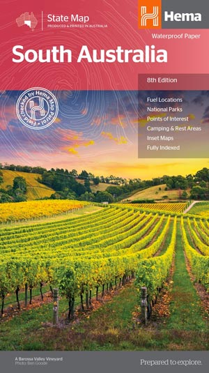
Key features:
- Inset city and national park maps
- Information Centres
- Camping & Rest Areas
- Distance grids
- Fuel locations
- Points of interest
- Fully Indexed
12. HEMA The Red Centre Map
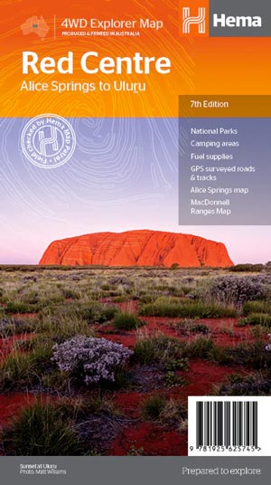
Key features:
- GPS surveyed roads and tracks
- Fuel stops
- 4WD tracks
- Camping areas
- Historic sites
- Detailed inset maps
13. HEMA Central Australia Map
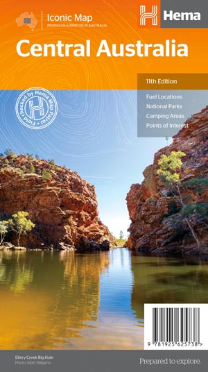
Key features:
- GPS surveyed roads and tracks
- Fuel stops
- 4WD tracks
- Camping and rest areas
- Historic sites
14. HEMA Top End & Gulf Map
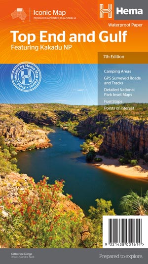
Key features:
- GPS surveyed roads and tracks
- Fuel stops
- Self-drive 4WD tracks
- Camping areas
- Historic sites
- Detailed National Park inset maps
- Waterproof paper
15. HEMA The Kimberley Map
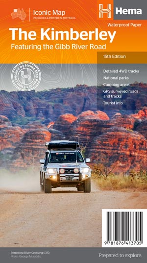
Key features:
- Waterproof paper
- Detailed 4WD tracks
- National parks
- Camping areas
- GPS surveyed roads & tracks
16. HEMA Western Australia Map
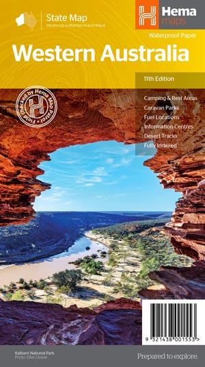
Key features:
- Camping and rest areas
- Caravan parks
- Fuel locations
- Information centres
- Desert tracks
- Full index
17. HEMA Pilbara and Coral Coast Map
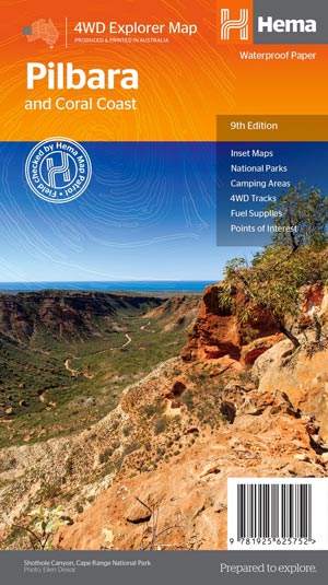
Key features:
- GPS surveyed roads and tracks
- Fuel stops
- 4WD tracks
- Camping areas
- Historic sites
- Detailed inset maps
18. HEMA Mid West Western Australia Map
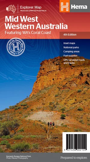
Key features:
- Inset Maps
- National parks
- Camping areas
- Fuel Supplies
- GPS surveyed roads and tracks
- What to see and do
19. HEMA South West Western Australia Map
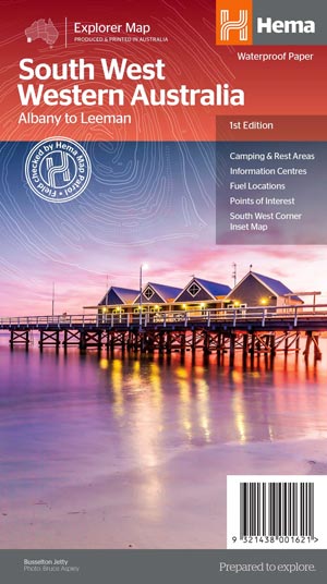
Key features:
- Camping and areas
- All major road networks
- Points of interest with contact information
- Information Centres
- Fuel Locations
- South West Corner inset map
20. HEMA Australia Map
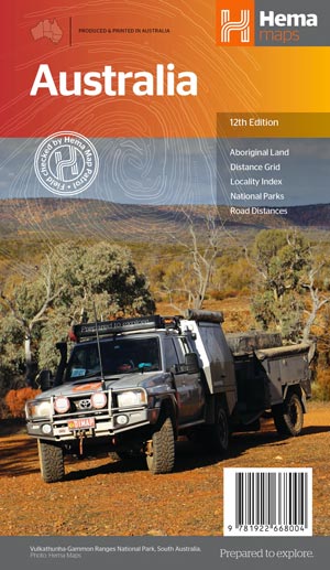
Key features:
- Hema’s iconic map of Australia
- Overview of Australia’s iconic touring regions
- Outback fuel distances
- National parks
- Road distances
- Aboriginal land
- Distance grid
- Index
Regional Australia Maps
HEMA Flinders Ranges Map
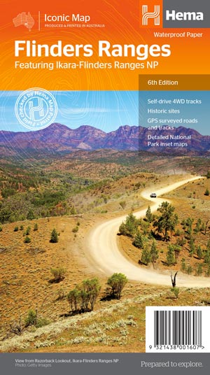
Key features:
- GPS surveyed roads and tracks
- Self-drive 4WD tracks
- Camping, bush camping, walking tracks
- Historic sites
- Detailed National Park inset maps
HEMA Victorian High Country Map
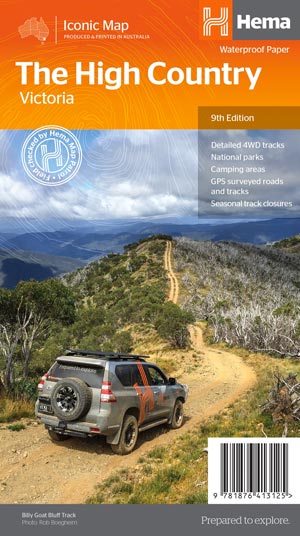
Key features:
- 4WD tracks
- Huts
- Camping areas
- Old townsites
- Seasonal track closures
- Road distances
- Accommodation
HEMA Top End National Parks Map
Litchfield, Katherine & Kakadu
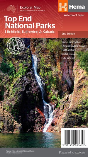
Key features:
- National Parks facility listing
- Popular tourist routes
- Campsites & rest areas
- Tourist information
HEMA Fraser Island Map
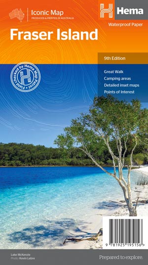
Key features:
- Detailed 4WD tracks
- Camping areas
- GPS surveyed roads & tracks
- GPS positions and grid
HEMA Great Desert Tracks Simpson Desert Map
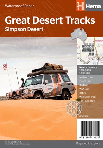
Key features:
- Madigan Line
- French Line
- Rig Road
- WAA Line
- Warburton Track
- Talawana Track
- Hey River Route
- All maps field checked by the Hema Map Patrol
- Printed on durable, waterproof paper
Guides
HEMA Australian Road & 4WD Atlas
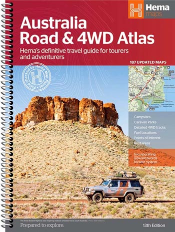
Key features:
- Detailed 4WD tracks
- Fuel
- Points of interest
- National parks
- Campsites
- Caravan parks
- Rest areas
- Road distances
- Fully indexed
Camps Australia Wide 13

Camps Australia Wide is generally considered to be the best book for finding free and low-cost camping across Australia.
Featuring verified free camps, caravan parks, national and state parks, community campsites, showgrounds, station stays and much more.
- Over 4,250 free and low-cost sites
- Pet-friendly sites
- GPS positions of each site
- Detailed facility information
- Atlas mapping for navigation
Great Ocean Road

Explore the rugged coastlines, shipwrecks, ancient rainforest and abundant wildlife of the Great Ocean Road.
Content includes: Torquay, Bells Beach, Aireys Inlet, Lorne, Wye River, Apollo Bay, the Otways and of course the Twelve Apostles and Port Campbell National Park.
Prefer to get on board a tour of the Great Ocean Road? Click here for more Great Ocean Road Tours information.
